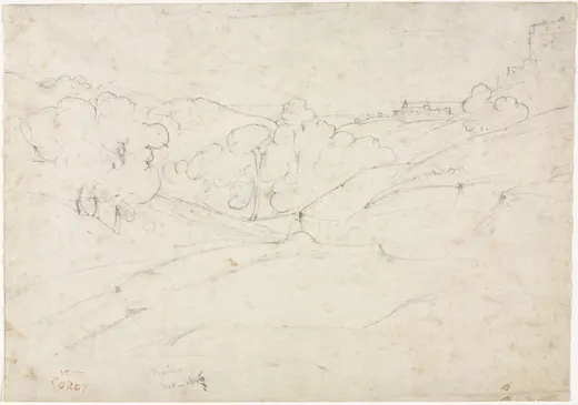
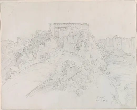
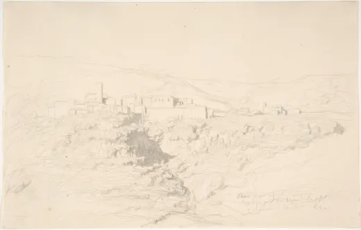
View of Nepi
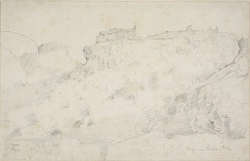
Corot, View of Nepi, c. 1826. Graphite on off-white wove paper.
Pins mark where to look before you draw.
The Art Institute of Chicago · Arthur Heun Fund
View of Nepi
Terrain as long contour
Nepi, around 1826: a walled town along the top of a tufa cliff, with the whole lower two-thirds of the sheet given to the broken ground below it. Where Marino is about placing a town, Nepi is about describing a hillside with contour alone: long lines that follow the fall of the land, a few short strokes for the rock faces, and the town as a thin band of verticals along the skyline.
- Difficulty
- Time
- about 2 h
- You draw with
- 2H and H graphite
Why this one
- It isolates the hardest skill in landscape line drawing: making ground recede with contour lines and no tone.
- The town is a skyline problem, the cliff is a plane problem, and the two meet on one line.
- It shows how the young Corot used a change of line direction to turn a form.
From your kit
The whole kit →- 1Grafwood 2H, H 2H, H for layout and line. Long points from the Blackwing on everything up to B.
- 2Kneaded eraser and the Mono Zero press-and-lift corrections only; the Mono Zero for a single sharp light.
- 3Alpha sketchbook 9 x 6 draw at the book's size and keep the proportions; date the page.
In general, this study asks for
- Drawing pad or smooth cartridge
- 2H and H with long points
- HB for accents
- Kneaded eraser
- Sandpaper block
Watch first
All videos →Sighting angles with a pencil against level and plumb.
YouTube

The plan
4 stages · ~90 min- 1
Find the one line
10 minThe whole drawing hangs from the line where town meets cliff. Sight its angle and its height on the sheet (about a third down). Draw it first, long, from the shoulder, in one pass.
Checklist0 / 1 - 2
The town as a band
25 minAlong that line, the town: short verticals for walls and towers, a few roof slopes, the whole band thinner than you think. Measure the tallest tower against the band's length.
Checklist0 / 1 - 3
The ground, by direction
45 minWith the H, lay the terrain in long contour lines that follow the slope. Where a rock face turns, let the strokes change direction rather than get darker. Keep pressure constant. The nearest ground gets the longest, most widely spaced lines.
FigureThe ground recedes. Texture near, calm far: here it is done with line spacing. Checklist0 / 2 - 4
Audit
10 minSquint at both. Does the ground read as falling away? If it reads as a flat pattern, your lines are too even. Thin them in the distance.
Checklist0 / 2
What it should look like
- A thin skyline town over a hillside of long lines that visibly falls toward you.
Where it goes wrong
- The hillside reads as a flat net of hatching. Lines evenly spaced and all the same length. Longer, sparser lines near; shorter, finer lines far. Let direction change at each turn of the rock.
Log this session
Start the clock when you pick up the pencil. Stop it when you put it down. Log it. Every session counts toward the box.
Status
How did it go?
Before this, ideally